

Survey
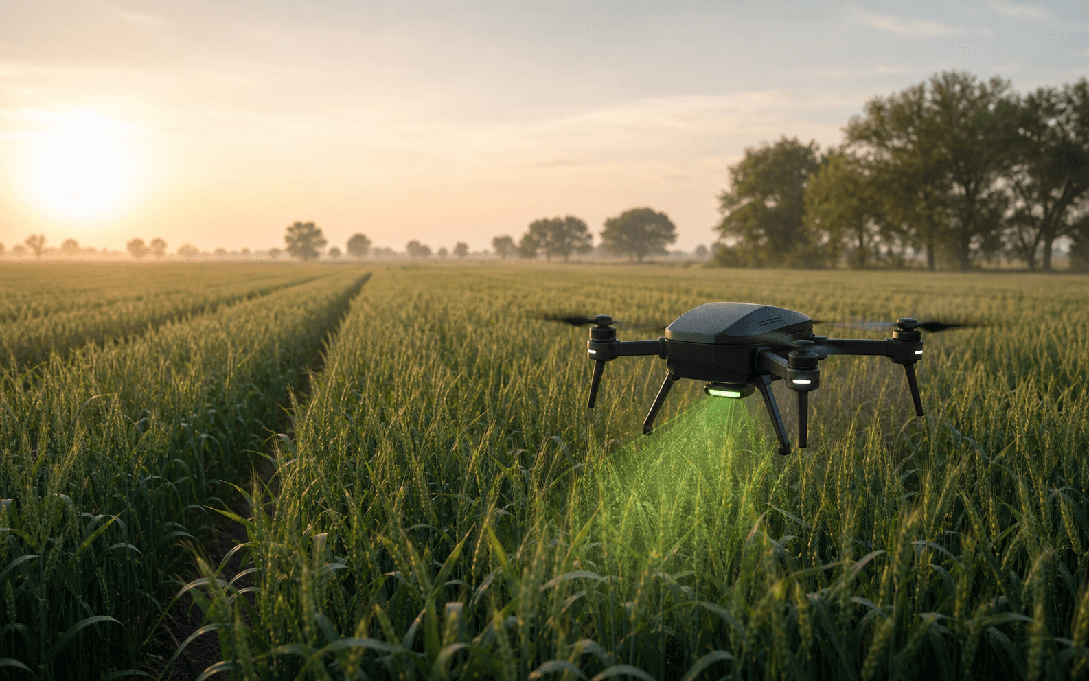
A manually piloted drone captures high-resolution crop imagery across the field.
ARIX is building an AI-powered crop intelligence system that surveys wheat fields, detects disease, and maps exactly where attention is needed.
01 / Mission
Uniform spraying treats every acre the same. We are building a more precise path: find affected zones, understand disease pressure, and support treatment decisions with field-level intelligence.
02 / Company momentum
Live totals from posted ARIX finance records. Individual transactions and employee data remain private.
Rs 100,000 of Rs 100,000 in combined public financial momentum.
03 / System
A practical first MVP that proves the intelligence pipeline before adding flight autonomy.
A manually piloted drone captures high-resolution crop imagery across the field.
A laptop-based AI pipeline identifies healthy wheat and priority disease classes.
Imagery and flight logs are synchronized into a geo-referenced disease heat map.
The grower receives a clear report that turns crop signals into focused field decisions.
04 / Intelligence layer
ARIX is initially focused on four wheat conditions. Explore the interface concept to see how field imagery becomes a readable disease map.
Inside the technology →05 / Intended impact
These figures are product targets from the current implementation plan. Field validation is still ahead.
By focusing future treatment on mapped disease zones rather than the entire field.
Support more intentional use of crop protection products.
Turn aerial coverage into a field report that is easier to review.
Build a data layer for comparing disease patterns over time.
06 / The path forward
MVP-A validates manual survey, post-flight detection, geo-referencing, heat maps, and reporting. MVP-B introduces waypoint autonomy and onboard processing.
View the roadmap →Build the future of field intelligence